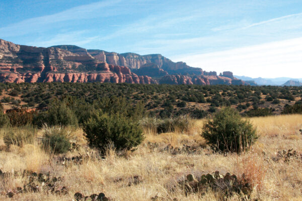
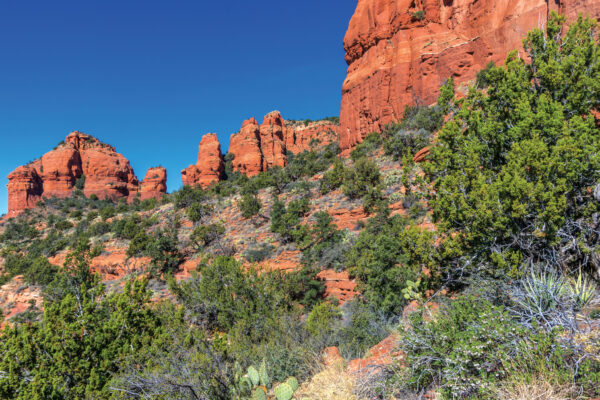
When those temperatures start to climb, we look for hikes that meet two requirements: short and scenic. And West Sedona’s Teacup Trail is one of our favorite brief hikes with top-notch views of one of Sedona’s most iconic red rocks, Coffee Pot.
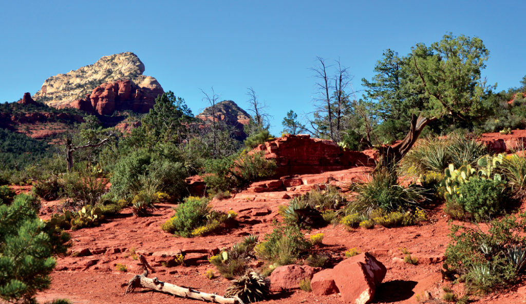
Sedona’s expansive red rocks off in the distance; a scene from Teacup Trail.
The Teacup trailhead shares space with the Sugar Loaf trailhead. From the get-go, you’ll enjoy stunning red rock views. At about 0.33 miles at the signs for Teacup and Thunder Mountain, head right to stay on Teacup Trail. From here and for the rest of the trail, you’ll take in top views of Coffee Pot. We’ll personally never tired of seeing the red rocks in a different light, and this is by far, the best way to see this iconic one. You’ll see trail signs at 0.38 and 0.63 miles, head straight to stay on Teacup. One aside: the biggest complaint we saw from many commenters was that this trail is hard to follow. And they’re right. The trail branches off many times, and we found ourselves lost more than once. To help, try following cairns or stacks of rocks or looking for mountain bike tracks.
Make a right at 0.74 miles, where you’ll wind and descend for views of Coffee Pot from below. See if you can spot the “teacup” that this is trail is named after on a tall spire to the far left of Coffee Pot. At 0.96 miles, you’ll see a red rock ledge to your left. We’d recommend you turn back here for a hike that’s just less than two miles as you’ve already seen the best views of Coffee Pot. From here, you have a few options. If you have the time, turn right and walk along the base of coffeepot and then venture through a cypress forest. The Teacup Trail ends on Forest Service Road 9904. If you’d like, you can see Sedona’s famed Devil’s Kitchen sinkhole if you venture less than one mile on Sink Hole trail.

One of our favorite perks of this trail? That it gives you a chance to see Coffee Pot Rock in a different light, like this featured view.
But our personal recommendation is to head back, and when you reach the first Sugar Loaf and Teacup Trail sign, turn right onto Middle Teacup Trail. Although not labeled, this trail is easy to follow. Look for the mountain bike tracks, and be mindful of bikers. Middle Teacup will eventually intersect with Skidmark Trail. Turn right to hug the base of the red rock formation where Coffee Pot rests and head to a red rock mesa offering magnificent views of Wilson Mountain, the Mogollon Rim and Mitten Ridge. Turn around and head back to Teacup Trail by following Coffee Pot Rock trail, located straight ahead. Turn right to stay on Teacup and head back to the trailhead for a hike that clocks in at just less than 2.5 miles.

