We’ll never tire of seeing Sedona’s famed red rocks in a different light. And if you’re up for a relatively moderate hike that will take you around the base of Chimney Rock, consider the Chimney Rock Pass Trail. This relatively short hike offers red rock views, a challenging, but not impossible, hike and lets you get close to one of Sedona’s signature red rock formations.
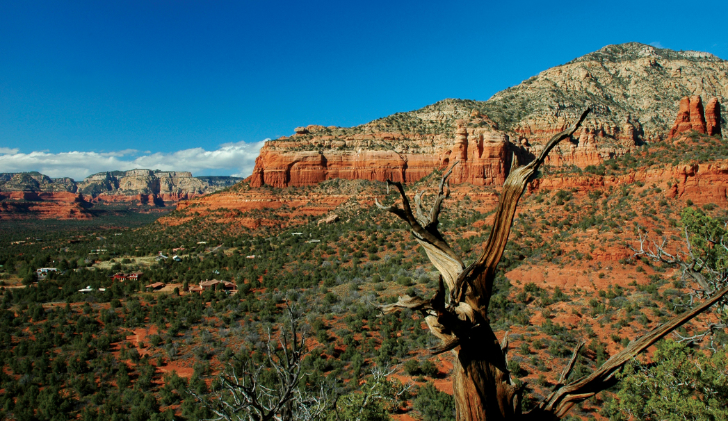
First things first, you’ll want to start off by following the trail for Thunder Mountain. Take an immediate right and continue to follow the signs. The trail descends and follows a winding path. Look forward to views of Thunder Mountain or Capitol Butte ahead.
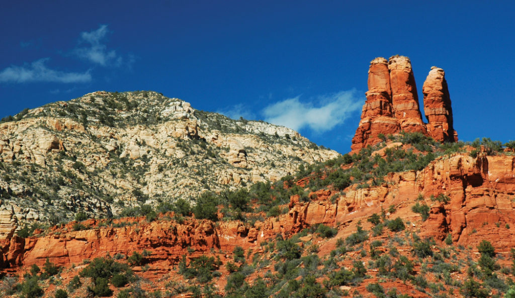
a closeup shot of Chimney Rock, also known as three fingers due to resembling three fingers.
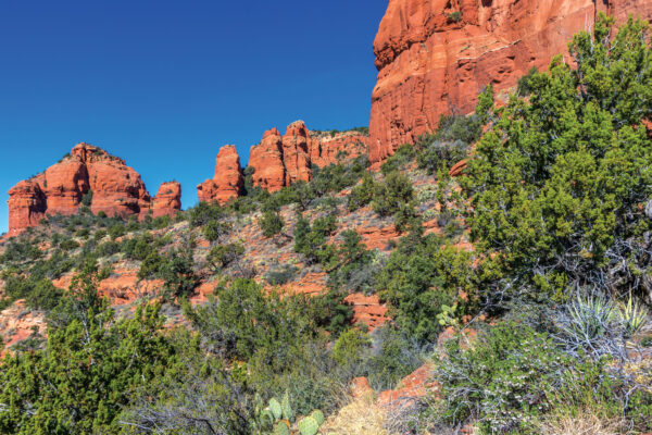
At about 0.62 miles, turn left onto Chimney Rock Pass. From here, the trail ascends in a series of switchbacks and feels like a Stairmaster workout where you just climb up and up. But be sure to take a moment to look to your left to see some of the best views of Chimney Rock, also known as three fingers since it does resemble, well, three fingers. Once you’ve climbed up, the trail descends and then wraps around the base of Chimney Rock. We’ll admit we felt like we were in a scene of “Jurassic Park,” with the trees, cactus and scenic vistas all around. At 1.26 miles, you’ll be faced with a steep red rock. Climb up it, and head to the right. Follow the cairns – cylinder-shaped stacks of rocks wrapped in wire fencing to mark the trail – if you get disoriented.
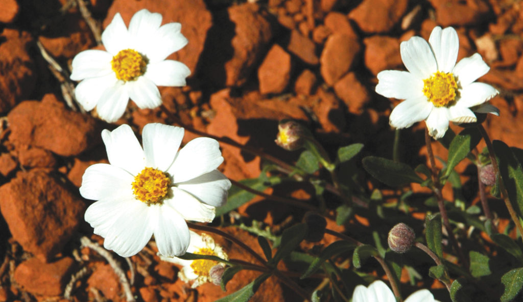
Daisies along the trail.
At about 1.48 miles, you’ll see a sign for Lower Chimney Rock Trail. This is one of our personal favorite trails when we’re short on time. If you want a stunning view, turn right and follow the sign that says Summit. It’s a short, but steep jaunt up to the summit of Chimney Rock Vista for beautiful views all around. Come back down the Summit trail and turn left to follow the Lower Chimney Rock loop trail for a longer hike. Or turn right to finish the loop trail for a hike that’s just under 2 miles. Keep in mind that there’s mostly no shade on these trails. Be sure to wear a hat and sunglasses.