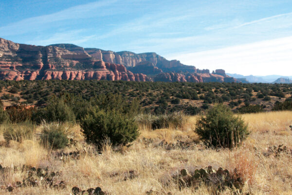
There’s no denying the 3.3-mile trail that loops around Airport Mesa offers views of every major red rock formation in Sedona, but we were equally as enthusiastic about the landscape of the mesa itself. A constant change in terrain, tiny lizards and red frogs scurrying underfoot, and landing airplanes turned our hike into an adventure. Bonus: There’s a vortex nearby.
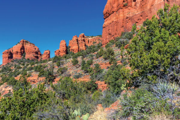
From the trailhead on Airport Mesa Road, walk uphill to a picturesque saddle, and then turn right and follow the signs for Airport Loop, which actually leads away from the crowds hiking on the mesa’s overlook trails. (Follow the crowds to find that aforementioned vortex site.) The trail is very narrow – there’s no way two people could walk side by side – and it clings to the edge of the mesa. The terrain alternates from slick rock to red dirt and, further along the trail, basalt boulders. After hiking a short distance, Courthouse Butte and Bell Rock come into view. Ocotillo bushes grow precariously from the side of the mountain. Unfortunately, you will hear noise from AZ-179, which winds like a black ribbon far below the trail. You’ll also hear planes and helicopters landing at the airport above you.
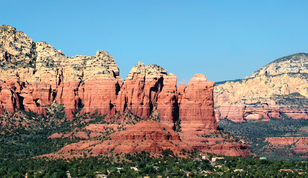
Airport Loop offers a unique vantage point of Cathedral Rock, and, at this time of the year, you can also see Oak Creek thanks to the leafless trees that line its banks. At 1.42 miles, the trail levels off and begins to head northwest through a field of prickly pear cactuses. Mingus Mountain and Cockscomb Butte are visible.
Before long, the trail follows the boundary of the Sedona Airport, which is marked by a chain-link fence. And the signs that caution hikers to watch for low-flying aircraft are no joke: A biplane came in for a landing right above our heads during our hike. West Sedona is also visible on this section of the hike. Table Top Trail intersects with Airport Loop after 1.8 miles – stay to the right. Two miles into the hike, you’re above a small industrial section of Sedona. The trail becomes less interesting from here. You’ll reach the Bandit Trail junction after 2.39 miles (stay to the right) and the Sunset Trail junction after 2.42 miles (stay straight). A well-worn social trail forks to the left of Airport Loop 2.89 miles into your hike – stay on the upper trail.
Airport Loop ends rather abruptly at a guardrail along Airport Mesa Road. Hop the guardrail, carefully cross the street and you’re back at the trailhead 3.3 miles after starting your hike.