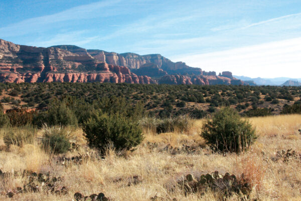
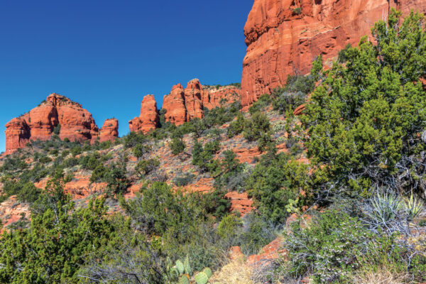
In late winter and early spring, Dry Creek is anything but dry. Depending on how much rainfall we’ve received, it’s completely impassable in some locations. The key to hiking this trail is finding that ideal time when there’s enough water in the creek to make the hike interesting but not so much that you can’t navigate it. We made it one mile along the trail at the beginning of March before a creek crossing forced us to turn back. It’s possible to hike the trail for 3 miles (6 miles round trip). Getting to the trail is half of the adventure. It begins at the Vultee Arch Trailhead at the end of Vultee Arch Road (FR 125). You will either need to hike the 4-plus-mile road to get to the trailhead or negotiate the road in a high-clearance four-wheeldrive vehicle (that was what we did). You can also reach the trail by hiking strenuous Sterling Pass in Oak Creek Canyon or Chuck Wagon Trail near Seven Canyons golf course (if you hike the latter, you will still need to walk a couple of miles on Vultee Arch Road). Dry Creek Trail immediately crosses Dry Creek twice before meandering through forests of juniper trees and manzanita bushes. There are some nice red rock formations around here, but nothing extraordinary; you truly want to make this journey when there’s water in the creek, otherwise it’s a relatively nondescript trail. We can tell you that its location and lack of expansive views means you won’t run into many other hikers along the trail. If you want a backcountry experience, this is it. After hiking 0.72 mile, you will come across your first major creek crossing. If you’re fortunate enough to be here when the weather is warm and there’s water present, this would be an excellent place to take a dip and grab some sun. Hike another 0.05 mile and you’ll come upon a second large crossing. It’s here that Bear Sign and Dry Creek trails intersect. Stay right to continue on Dry Creek. We made it another 0.25 mile before a large water crossing and steep red rock canyon walls forced us to turn back the way we came for a 2-mile round-trip hike.
Dry Creek Trail
Hiking after a rain storm? This dry creek could be a raging river.
TEXT BY ERIKA AYN FINCH. PHOTOGRAPH BY DEB WEINKAUFF.
![]()