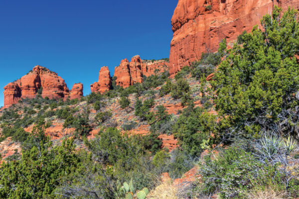
Back in June 2006, Brins Mesa made headlines when a fire broke out in the area, scorching more than 4,000 acres. Nine years later, you can still see the evidence when you hike the popular – and steep – Brins Mesa Trail. Aside from that poignant reminder of the ever-present threat of wildfires in our region, the area surrounding Brins Mesa is pristine. It’s the epitome of why we live in Red Rock Country and why so many people visit this area.
We began our Brins Mesa hike at the trailhead at the end of Jordan Road. The trail begins with a gentle climb through a forest of pine trees, cactus and wildflowers. The terrain is relatively rocky with a few sandy areas. After you’ve been hiking for about one mile, the trail makes a sharp ascent up Brins Mesa. It’s hard to say what will take your breath away first – the climb or the views. You are surrounded by red rock monoliths on three sides with views of Uptown and the Mogollon Rim at your back. Hike early in the day when the temperatures are cooler and the trail is less crowded, and you will feel like you have Sedona all to yourself. (Be smart and make sure you bring plenty of water on this hike – there’s little shade.)
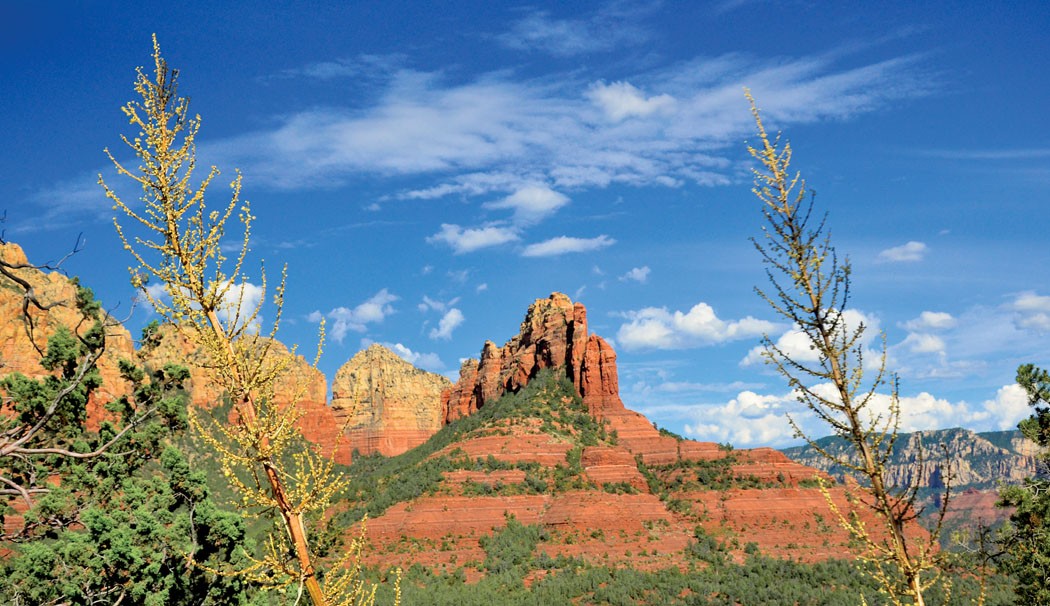
The trail reaches the top of Brins Mesa 1.37 miles from the trailhead. This is where you will see evidence of the fire in the form of scorched trees on your left. In front of you, you’re treated to unique views of Capitol Butte and Coffee Pot Rock. Wilson Mountain is on your right. The trail gradually heads downhill and into a healthy pine-and-juniper forest. You’ll reach the junction of Soldier Pass and Brins Mesa trails 2 miles into your hike. Brins Mesa Trail continues downhill for another mile and reaches the Brins Mesa Trailhead on Vultee Arch Road 3 miles from the Jordan Road trailhead. You can park a second car here (keep in mind Vultee Arch Road is only suitable for high-clearance, four-wheel-drive vehicles) or hike back the way you came for a 6-mile roundtrip hike. Either way, you’re sure to fall in love with Red Rock Country all over again.
MORE SEDONA HIKES: Hike of the Month archive, 10 favorite hikes, Sedona day hikes, Mt. Humphreys
SEDONA MOUNTAIN BIKING: Trail Masters