Used by mountain bikers for years, Chuck Wagon Trail only recently became an official Coconino National Forest trail. The route has been modified to accommodate hikers and provide an alternate path to Devil’s Bridge, a popular red rock formation near Vultee Arch Road (FR 152). Chuck Wagon, which begins at a trailhead on Long Canyon Road, actually has two forks. After you’ve been hiking for one-quarter mile, you’ll see the trail split. The route heading right eventually ends at the junction of Dry Creek Road and Vultee Arch Road, and we don’t think it’s particularly extraordinary. Instead, head left for a 4.85-mile loop hike.
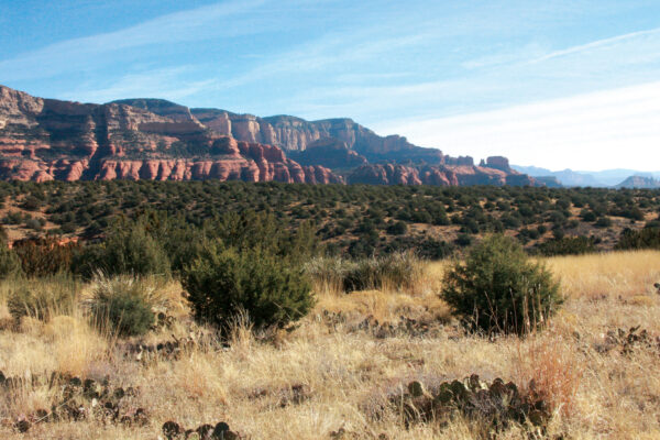
For the first part of the trail, you’re hiking through groves of prickly pear cactus, juniper trees and manzanita. But 0.42 mile from the trailhead, you begin to have expansive, 180-degree views of the red cliffs and rock formations that make up the Seven Canyons area. The trail climbs up a plateau and at 0.66 mile, the vista is as good as it gets: the tops of evergreens below you, the blue sky above and a horizon replete with red rocks.
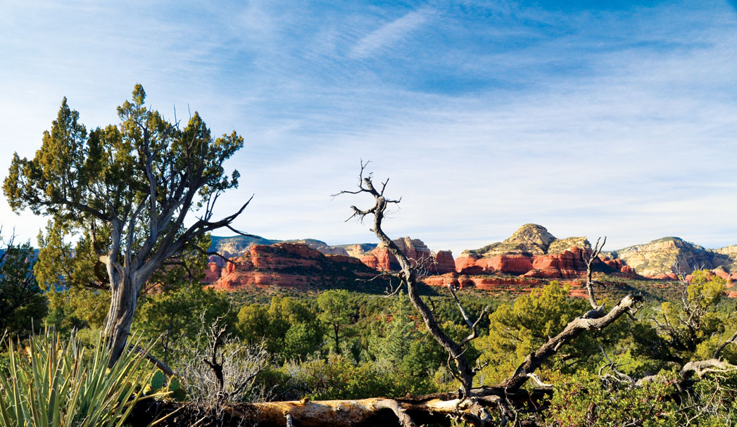
The trail continues to twist and turn through the area, offering nice views and plenty of picnic spots. You’ll reach the turnoff for Devil’s Bridge after hiking 1.15 miles. Continue straight on Chuck Wagon. The trail is relatively flat from here on out, making it easy to converse with your hiking partners. The spur to Brins Mesa Trail meets Chuck Wagon 2.8 miles into your hike. Again, stay straight. Chuck Wagon eventually turns into Gunsight Trail, though there is no sign indicating you’ve switched trails. You’ll know it’s happened when the trail loops back in the direction from which you came. You feel far from civilization along this section, which wecan appreciate. The trail ends at Long Canyon Road at 4.37 miles. Rather than return the way you came, make a left on Long Canyon and walk along the road. In less than a half-mile, you’re back at your parking spot.
MORE SEDONA HIKES: 10 favorite hikes, Sedona Day hikes, Mt. Humphreys