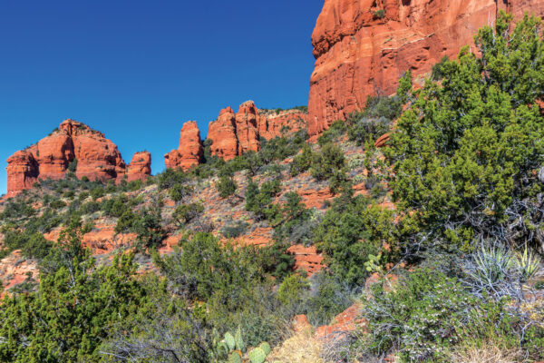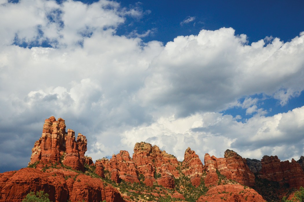
For a casual hike with stunning views, it doesn’t get better than Marg’s Draw. The trailhead is located in the center of town, the ascents are short and the red-rock pinnacles are inspiring. Local lore claims the trail was named after a stubborn mule that liked to frustrate her human companions by playing hide ’n’ seek in the area whenever it was time to pack up for a trip. Marg might have been on to something because this all-weather trail is a great place to lose yourself for a few hours.
We began our hike at the Marg’s Draw Trailhead at the end of Sombart Lane near the Kings Ransom Inn on SR 179. After walking just 222 feet, you’ll pass through a gate and start to make a steep-but-short climb (the only real climb you’ll encounter during your hike). The route evens out after .15 mile, and suddenly you’re gazing up at the Crimson Cliffs and the Mogollon Rim directly in front of you. Look over your shoulder for views of Capitol Butte, Wilson Mountain, Uptown and Oak Creek Canyon. The trail meanders east toward the Mogollon Rim, surrounded on both sides by prickly pear cactus. You’ll come to a T-junction after .46 mile; we chose to turn left toward the Broken Arrow area, but you can also turn right and head toward Schnebly Hill Road. Either way, Marg’s Draw measures 3 miles round trip. (When we wrote about this trail in 2006, we went in the direction of Schnebly Hill.)
The trail remains relatively flat, perfect for taking a stroll with the family after Thanksgiving dinner. Hike for .75 mile, and you’ll cross an interesting dry wash. Continue hiking through chaparral, juniper trees and cactus, heading south toward Battlement Mesa and Submarine Rock. The trail ends at the Broken Arrow Trailhead 1.5 miles from where you started your hike. From here, you can connect Marg’s Draw with Broken Arrow and Submarine Rock trails, or you can return the way you came and hurry home to leftover pumpkin pie.
Directions: From SR 89A, head south on SR 179 and turn left on Sombart Lane. The road deadends at the Marg’s Draw Trailhead after less than 1 mile. There are no restrooms at the trailhead.
MORE SEDONA HIKES: Humphreys Peak, Sedona Monthly’s 10 favorite hikes, Sedona day hikes, Grand Canyon, Hike of the Month